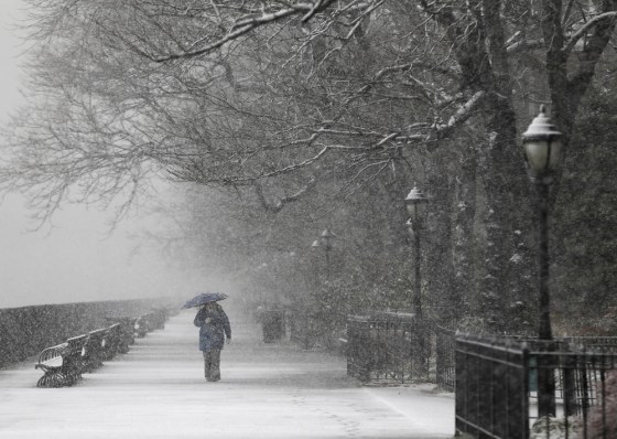
Up to 3 feet of lake-effect snow could bury areas of upstate New York by the end of this week.
With many parts of the region just coming out of winter storms which caused travel chaos on roads and at airports, one thin band of snow was forecast to strike east of Lake Ontario between Syracuse and Watertown, N.Y., said Kevin Roth, lead meteorologist at The Weather Channel.
Another band was due to hit just south of Buffalo, N.Y., although this was slated to dump slightly less snow, around 2 feet, he added.
There are no international airports in the affected area but a 20-mile stretch of Interstate 81 could see adverse conditions.
On the other side of the Great Lakes, Chicago, was forecast to get 2 inches of snow Wednesday morning, but this would not severely hamper travel, Roth said.
Lake-effect snow occurs when very cold air moves over a large body of warmer water, depositing large amounts of snow on the shore. This happens around the Great Lakes when air rushes down from the Arctic during winter.
Temperatures dropped below freezing across large parts of the Northeast early Wednesday, with NBC Philadelphia reporting that ice was forming on untreated roads and sidewalks, causing some problems for commuters.
The Weather Channel said across the entire region (Northeast) "very cold conditions will lead to snow-covered and icy secondary roads and side streets." It urged drivers in affected areas to use caution and carry a winter survival kit in their vehicles when traveling long distances.
Earlier in the week and over the weekend the Northeast was hit by ice and snow from a storm which had swept across much of the U.S., causing flight delays, deadly road pileups and power outages.
Upstate New York isn't the only region in the crosshairs. Weather.com says a new storm system will develop in the Midwest on Friday and head for the Northeast this weekend with more snow and some ice. A messy mix will stretch from the Ohio River Valley to New Hampshire.
Related:
