Northern Australia is bracing for a Category 5 tropical cyclone that is expected to bring “very destructive winds” and “very heavy rain” to its coastline Friday, with meteorologists warning of gusts up to 180 mph.
As of Thursday, the slow-moving Cyclone Zelia was 90 miles north of Port Hedland and was forecast to hit the Pilbara Coast as early as Friday morning with winds of up to 130 mph, Australia’s Bureau of Meteorology said in an advisory.
“Severe Tropical Cyclone Zelia is rapidly intensifying with very strong convection surrounding a warm eye,” the weather bulletin read, adding that the cyclone was moving off with heavy rainfall in its eastern rain bands.
More than a dozen schools have been closed in the northern part of the state of Western Australia, with authorities along the coast warning residents to take shelter as the cyclone, which was upgraded to the highest possible Category 5 Thursday afternoon, unleashed winds of up to 115 mph.
“Heavy rainfall is expected on the coast during the next couple of days,” the Bureau of Meteorology advisory read, warning of rainfall intensifying “near and to the east of the center of the cyclone as it crosses the coast.”
The “very destructive” wind gusts of up to 180 mph were expected close to the storm's center as it crosses the coast, the advisory added. Zelia is expected to bring intense rainfall that may lead to flash flooding Friday along the coastal and inland areas between Wallal Downs and Karratha.
“There is a possible threat to lives and homes as a cyclone is approaching the area,” Western Australia’s Department of Fire and Emergency Services said, issuing a “cyclone watch and act” warning advising people along parts of the Pilbara Coast, including Karratha and inland areas, including Marble Bar, to take shelter.
It also said it had opened two evacuation centers.
The warnings have also prompted multiple highway closures in the area, with the department warning that roads could become impassable and that there was water already on some roads. Residents along the coast have been warned of “dangerous storm ride” and flooding of the low-lying areas along the shore.
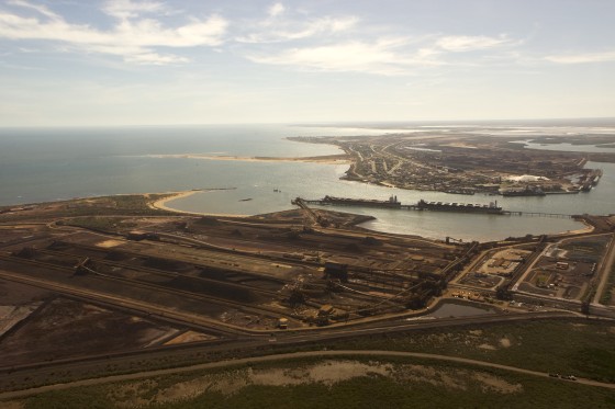
The Western Australia ports of Dampier and Varanus Island, which are used for commodities exports, were also closed Thursday, their operator said.
Zelia, which was moving at a slow speed of less than 3 mph, was forecast to be steered southward to landfall because of a weakened westward anticyclone Friday, the Bureau of Meteorology said.
The most destructive bit of the cyclone could hit coastal areas between De Grey and Karratha on Friday night.
But landfall may be delayed until Saturday, it said, due to “weak ridging to the south of the system beforehand, which will drag it further west.”

