A 9-year-old Kentucky boy was swept away by floodwaters and died Friday, officials said, as that state and others faced what forecasters warned could be a catastrophic flooding event from a stalled storm.
Gabriel Andrews was walking to a bus stop in Frankfort around 6:30 a.m. when he “was swept away by weather-related elevated water conditions,” the Franklin County Coroner said.
“My heart breaks for this family,” Kentucky Gov. Andy Beshear said. "Please join Britainy and me in praying for them following this unimaginable loss.”
At least eight people have died in the powerful storm system, according to a count of official reports by NBC News, five of which occurred in Tennessee.
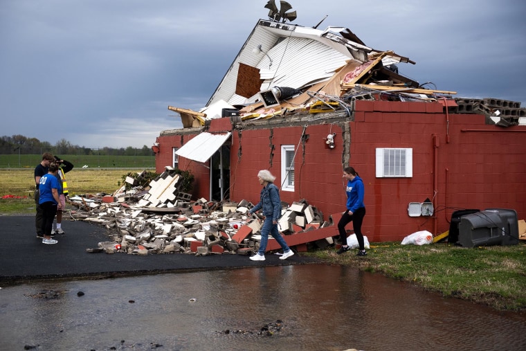
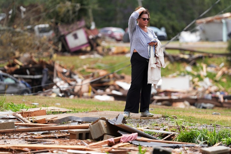
The storm began this week with tornadoes across the central United States and mid-South that destroyed homes, collapsed commercial buildings and flipped vehicles.
But the heavy rain, which could last through Saturday or Sunday in some regions, had more than 42 million people from Oklahoma to Western Virginia and Pennsylvania under flood watches or warnings Friday evening.
Downtown Hopkinsville, Kentucky, flooded and up to 6 more inches of rain — on top of the 8 1/2 inches that had already fallen — was forecast, officials said Friday.
“We are looking at record-level flooding,” Christian County Judge Executive Jerry Gilliam said at a news conference. There have been rescues after vehicles drove into high water and were swept away.

In Shelbyville and Shelby County, Indiana, a mandatory evacuation order was issued for low-lying and flood-prone areas.
And in Louisville, Kentucky, Mayor Craig Greenberg said Friday that the city could see one of its "top 10" floods in recorded history.
“This is incredibly serious,” he said.
There has already been heavy rain in the city that has caused flooding that led to four rescues, Greenberg said, and another 4 to 6 inches is forecast.
Waves of low pressure are acting on a stalling frontal boundary in the powerful storm, and moisture pooling along the front will set the stage for torrential downpours, the National Weather Service said in a Friday forecast.
The 36-hour period between Friday evening and Sunday morning will be the most dangerous, as an additional 6 to 12 inches of rain will fall over already-drenched areas.
A lull in the deluge could lead people to let their guards down, but forecasters caution the public to prepare for the next round of flooding.
A high risk for flooding is in effect through Friday for Arkansas into southern Missouri. The cities most likely to experience flooding are Little Rock; Poplar Bluff, Missouri; Paducah, Kentucky; and Evansville, Indiana.
High risks of excessive rainfall could continue through Sunday morning in what the weather service has called “an increasingly dangerous and life-threatening situation.”
Memphis by Friday had reported 6.91 inches of rain since Wednesday, 3.86 inches were recorded in Jackson, Tennessee, and 3.74 inches in Hot Springs, Arkansas.
Saturday, the high-risk area for flooding will be larger, covering Arkansas into western Kentucky.
Cities most likely to experience flooding from Saturday into Sunday morning include Little Rock and Jonesboro, Arkansas; Memphis; Poplar Bluff, Missouri; Paducah, Kentucky; and Evansville, Indiana. Louisville and Lexington, Kentucky, and Nashville, Tennessee, are at a moderate risk for flooding.

Saturday’s highest tornado threat is in Louisiana and Arkansas, and by Sunday, the severest part of the storm system will weaken, with storms and flooding from Atlanta to New Orleans.
Overall, the risk of life-threatening, potentially historic flash flooding lasts through Sunday. The highest risk is also from Paducah, Kentucky, down to Texarkana, Texas, with the threat of another 10 inches of rain that has already fallen.

