The lead-in to the holidays will be heavy on precipitation for many people as another storm system moves in across the Great Lakes and Northeast regions, bringing rain and snow before Christmas.
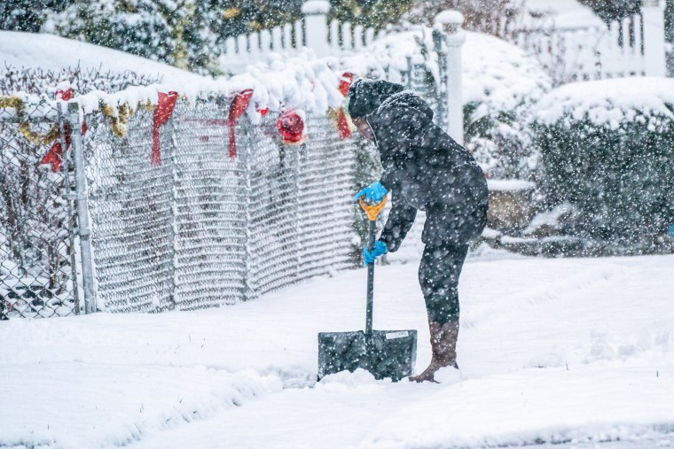
Those in the Northeast were already treated to snow Saturday, the first day of winter, and are expected to get a few more inches Monday and Tuesday. A storm system is encroaching upon the Great Lakes region Monday morning from Minnesota to Michigan, creeping its way east until it ends Tuesday night.

The system has already hit the West Coast, where temperatures are slightly above average, keeping snowfall to a minimum. Showers are expected for Northern California and Washington later this week, and there is a chance of snow in the area's mountain ranges.
But it will be the interior Northeast, Michigan and Wisconsin that are expected to get 2 to 6 inches of snow before Christmas Eve. It's unlikely, however, that there will be much snow in New York City or Boston.
There's no forecast for a white Christmas, either, as many areas will slosh in melted white blankets by Wednesday.

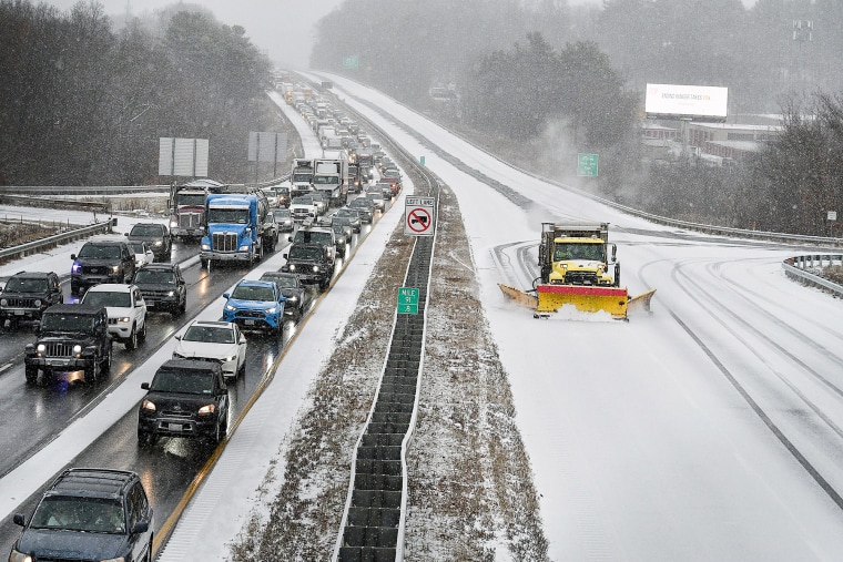
It's still likely that the storms will affect holiday travel, especially along the Interstate 95 corridor, which runs from Maine to Florida.
Temperatures are at record highs for this time of year, at least 30 degrees above average in the Plains and the West on Sunday. The warmth is expected to spread over the week until the entire contiguous United States is under high or above average temperatures by Friday.