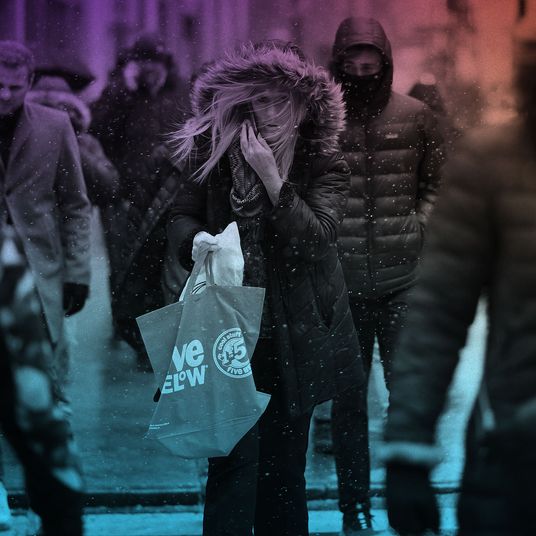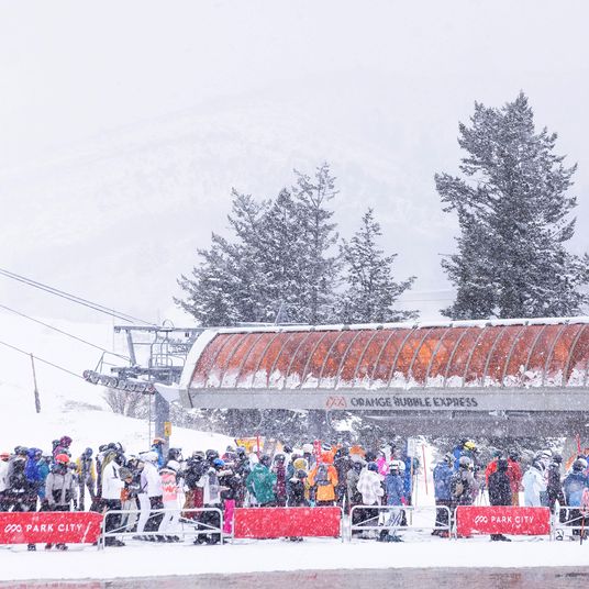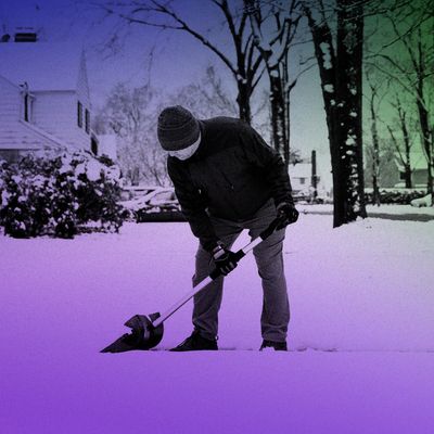
Remember snow? Merriam-Webster defines it as “precipitation in the form of small white ice crystals formed directly from the water vapor of the air at a temperature of less than 32°F.” It would be understandable if you needed a refresher because, aside from a few flurries, snow has gone missing in New York City for almost two entire years. The meteorologist John Homenuk, who runs the popular New York Metro Weather, is acutely aware of this crisis. The company’s popular and playful social-media accounts — which give each day a weather rating of 1 to 10 — feature a “Snow Meter” that has been delivering only bad news. Yet Homenuk remains bullish on this winter’s wintry possibilities post-December. I spoke with him about the role El Niño plays in anomalous warmth, the accuracy of long-term forecasting, and why January and February may be different.
We spoke almost a year ago about the lack of snow in recent New York City history. It had been 316 days at that point, which seemed like a lot. Now, we’re at a previously unfathomable 670+ days without measurable snowfall. Do you think we’re being punished by some higher power?
I was joking around with my family a couple of days ago. I forget who it was who told me, “This is what you get for complaining about snow all the time.” Now there’s none of it ever. So yeah, I can’t remember anything like this. Obviously, the previous record was 380-something days. Like you said, it’s unfathomable, and it’s unheard of for New York City, where records go back to the 1890s.
I’ve been tracking your forecasts carefully, and I know this Christmas period will be anomalously warm here and in most of the country. There’s no hope of any wintry precipitation on the near-term horizon, but do you see any longer-term or medium-term trends that may foster a better environment for it?
Right now, we are obviously in a pretty horrendous pattern for snow. There’s really not a whole lot of cold to be found in much of the Northern Hemisphere. We are at the mercy of the Pacific jet stream, and really what it means is that mild Pacific air is just flowing into Canada and the United States. So for the next two weeks, taking us into the first couple days of January, there really isn’t much hope for anything. But I will say — and this is not meant to be a pat on the back for ourselves or anything — it was well agreed upon in the community that this was the winter forecast. December was supposed to be warm, we were not supposed to see much snow, and that’s exactly what happened. In my mind, the narrative will probably begin to change a bit as we get into the middle part of January. That’s when I think there will be some opportunities — the second half of January, in particular, and then into February. I don’t think we’ll go through a whole other winter with a shutout. Mid-January is obviously really far out there, but there are lots of indications pointing us in a direction where the second half of the winter will turn this around.
Can you get into a little more detail on what might change between now and then?
Yeah, we are in what’s called a “jet extension,” which is really as simple as it sounds. The Pacific jet stream is always there, but right now, it just happens to be very strong and very extended. It extends almost from eastern Asia to the West Coast of the United States. So you have all that momentum pushing all this mild air into the United States and negating any cold. So all of Canada and all of the United States through late December are forecast to be well above normal in terms of temperatures, and there’s not much to fight that. But as we move into early January, the models take it back into another phase of that jet, which is called the “retraction.”
It’s kind of like a rubber band: The jet extends all the way out and then it snaps back, and all the waves from that jet stream disperse out. When the jet retracts, that allows other things that are acting on the weather to come back into control. And so our thought process here is that right now, everything is superheated and extended and we have all this mild air flowing in, but once that jet retracts, eventually we could start getting back to a more normal pattern where we have cold air to our north and an active storm track. In very simple terms, that’s how we see this going through mid-January.
People say not to trust forecasts more than a few days out, but do these long-term predictions about the jet stream tend to be fairly accurate in the macro sense? They work in a different way, of course.
It’s like you said: macro. We’re working in more simplistic terms. You can’t look at a 21-day forecast and expect to get the temperature right down to the degree, but when we’re looking at jet streams and overall patterns, below and above normal, we can do that with some accuracy. We knew a month and a half ago that December was going to be warm. That was pretty well agreed upon. And especially two weeks or so ago, the models really started picking up on this jet extension. But I think there’s good agreement now as we head into mid-January that will open the door for some change.
And the narrative in my mind — sort of the bird’s-eye view of this forecast since we started putting pen to paper in October — has been that it’s going to be really bleak to start but the second half of the winter could be really fun if you like snow. When we get our first big snowstorm here this winter, I think most people are going to be so excited, like jumping for joy. It has been so long, and so I am just so pumped — I have a plan in place already. We’re going to do a livestream. It’s going to be awesome.
You’re going to be breaking viewership records with that one.
And I’m just waiting. Every day I look at the weather models and I’m waiting for the other shoe to drop.
You really have capitalized on all this — you’re selling merch with the slogan “It used to snow here.”
Yeah, it’s really fun. The community has been great the past couple of months. It rains every weekend and we haven’t seen snow, but people are putting the stickers on their water bottles. It’s super-humbling and really cool.
Going back to the science — it’s an El Niño year, and I’m wondering about the role that plays in all this. Does it have much to do with the jet-stream stuff and the overall warmth?
Yes and no. With El Niño, we’re looking at the impacts of waters in the equatorial Pacific Ocean, so it’s far away from here. When I talk about El Niño at the Christmas dinner table, I start losing people. But the way to think about it really is that if you have much warmer waters in the tropical Pacific Ocean, the locations of your thunderstorms change and the frequency of those storms changes. And all those storms — those intense thunderstorms there — they feed back into the weather pattern. They impact the weather around them. And El Niño in its own right tends to feature these kinds of jet extensions. That’s just one of its characteristics. So we are following the playbook for an El Niño winter here. And I look back at this winter — not that it’s a comparison right now but because it’s an example of how things can flip — the 2015-to-2016 winter was El Niño. It was very warm early on and very boring until mid-January and then we got a blizzard.
So I would say the way I would look at El Niños here in New York is that they tend to be really, really slow starters in terms of winters. So we’ll have to be patient, and it definitely is having an effect. But I don’t think it’s impacting our day-to-day weather. I can’t look at this warmth right now and say, “This is a direct effect of El Niño.” It’s more like the El Niño leads to things that then affect our weather, is the best way I can put it.
You were careful last year to say there’s not a one-to-one connection between climate change and this snowless streak. A lot of it is just luck.
Yeah, a hundred percent. I mean, there’s a little bit of luck, and I want to be careful with proclaiming or declaring anything. And we have seen snowless periods in the past; we’ve seen periods of time where snow was below average for several years. But we’ve never quite seen this. This, statistically in and of itself, is very significant, and I don’t think that should be downplayed at all.
Do any of the longer-term trends you’re looking at say much about weather patterns beyond the winter? Last summer wasn’t blazingly hot and was mostly tolerable by New York standards.
Well, yes and no. What I can say is that a lot of the climate models and some of the indications we have based on ongoing data are that the El Niño will start to weaken as we head into the spring. Right now, we’re at about moderate intensity. And there’s very strong agreement now among the recent modeling that it will start to weaken substantially, almost to neutral conditions, by the summer. So what that means for us is we’re going back into a period of transition and uncertainty.
That’s true of the country at large, by the way. You can just use that as a general national forecast.
For everyone. But yes, and even from a weather standpoint, it creates a lot of uncertainty as to how the entire weather pattern is going to behave. Whenever you transition out of El Niño or La Niña and you have a rapid change, everything gets shuffled, so the models are all over the place and the confidence is very low. The main indication is that it’s going to be super-uncertain for a while.
It lets you off the hook in a way. Anything could happen.
I guess. It’s just kicking the can down the road, though. Eventually, we have to put a forecast out. Hopefully, we’ll have more clarity on that — as we’re digging out of our February blizzard.
This interview has been edited for length and clarity.


